High-fidelity LULC
To deliver highly localized, high-fidelity land-use and land-cover (LULC) data, we leverage advanced satellite imagery, local ground-truth data, and a cutting-edge ensemble of classification models, including random forests, gradient boosting, and deep neural networks.
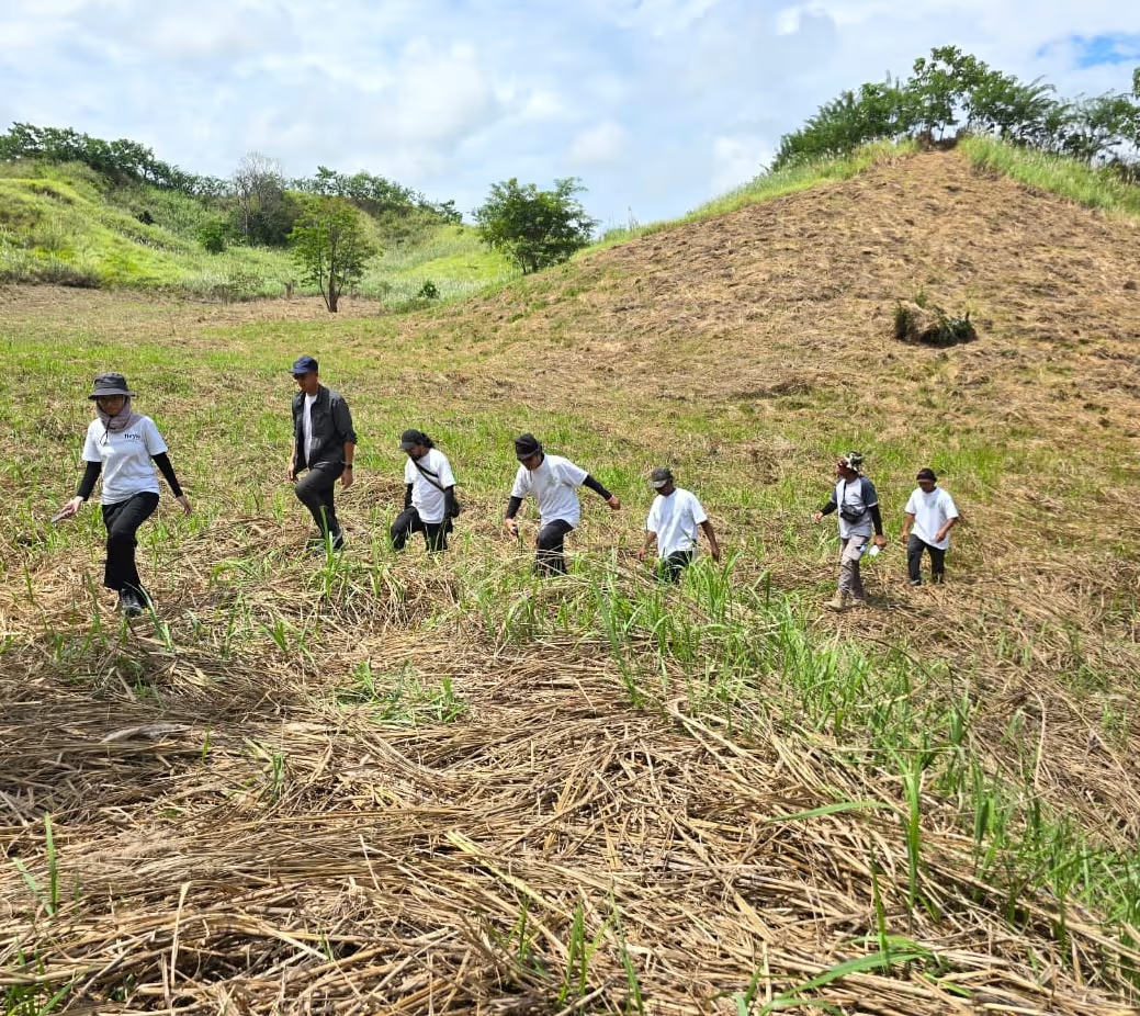
This enhanced accuracy not only captures critical local nuances - precisely distinguishing between grasslands, croplands, and both degraded and intact forests - but also adds confidence and robustness to our eligibility checks and project design.
Moreover, it enables us to delineate and zone project activities more effectively, ensuring optimal allocation for interventions like agroforestry and restoration in ARR-eligible areas.